Tracking the giants of the ocean: Lady Anne Wildlife Cruises joins Whale track
We are delighted to announce that Lady Anne Wildlife Cruises, which operates tours around North Uist and Ronay Island, is officially partnering with the Hebridean Whale and Dolphin Trust (HWDT) as part of its Whale Track initiative. HWDT is a charity based on the Isle of Mull, and for the past 15 years, it has been dedicated to the protection and research of Cetaceans. For people who don’t know, cetaceans are a group of fully aquatic marine mammals that include whales, dolphins, and porpoises. They sit at the top of the food web and are the beating hearts of our Oceans.
HWDT uses scientific research and public engagement to build an evidence base on cetacean behaviours, movements, and human impacts. They have leveraged this to fuel actionable change from whale entanglement prevention to creating Europe's largest protected area for harbour porpoises (at the time), making lasting impacts on the Hebridean marine world.
With over a quarter of all global cetacean species documented in the Hebridean Sea, research and protection are paramount to preserving the ecological health of our seas.
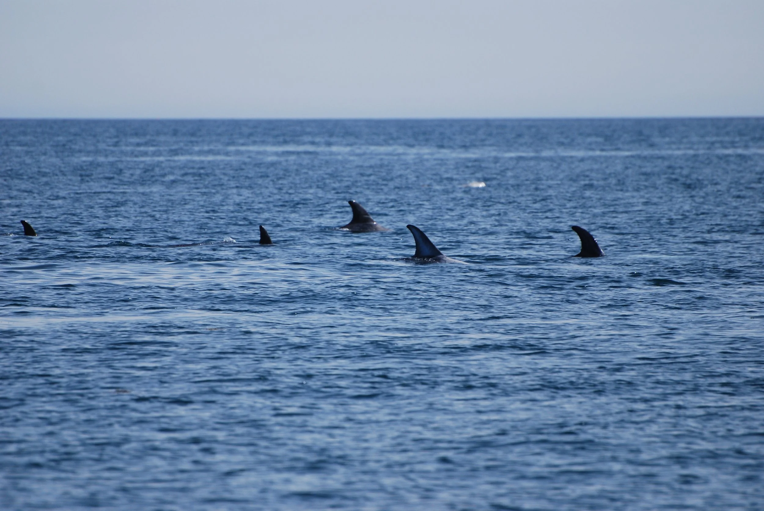
Risso dolphin’s
What is Whale Track? Citizen Science in Action
Launched by HWDT in 2017, Whale Track is a groundbreaking citizen science platform that enables anyone from a kayaker to a fisherman out at sea to record cetacean sightings across the Scottish West Coast.
By joining the scheme, the crew of Lady Anne Wildlife Cruises has been given exclusive access to data, catalogues, conferences and opportunities to learn about other vessels' research and impact. Being part of this scheme requires attention to detail and constant vigilance. The more detail, the better they can gain a picture of the local species and what they do. This can include:
Species identification and group sizes
GPS coordinates and sighting times
Animal behaviours (e.g., feeding, travelling, breaching, or bow-riding)
Environmental conditions such as sea state and visibility
Getting this data is not simple. This region of the Hebrides remains one of the least surveyed, notorious for treacherous sea conditions that limit safe access. That is precisely why the data gathered here is so valuable. The crew work tirelessly every day at sea, in sometimes unfavourable conditions, scouring the area for cetaceans whilst educating guests on board. Every sighting is vital as it is submitted to a long-term, open-access database that helps marine scientists map out habitat use, track individual animals over time, and understand population dynamics.
Why now? The Hebrides as a Summer Feeding Refuge
In summer, cetaceans begin to migrate North, some from as far as the Caribbean, chasing the nutrient-rich cold waters and healthy fish populations. This is a common migratory movement that maximises their feeding opportunities as blooms of Herring, Mackerel and Sand Eels gather as plankton numbers, their main food source, explodes. This provides an ideal habitat to build fat reserves they've lost after winter breeding.
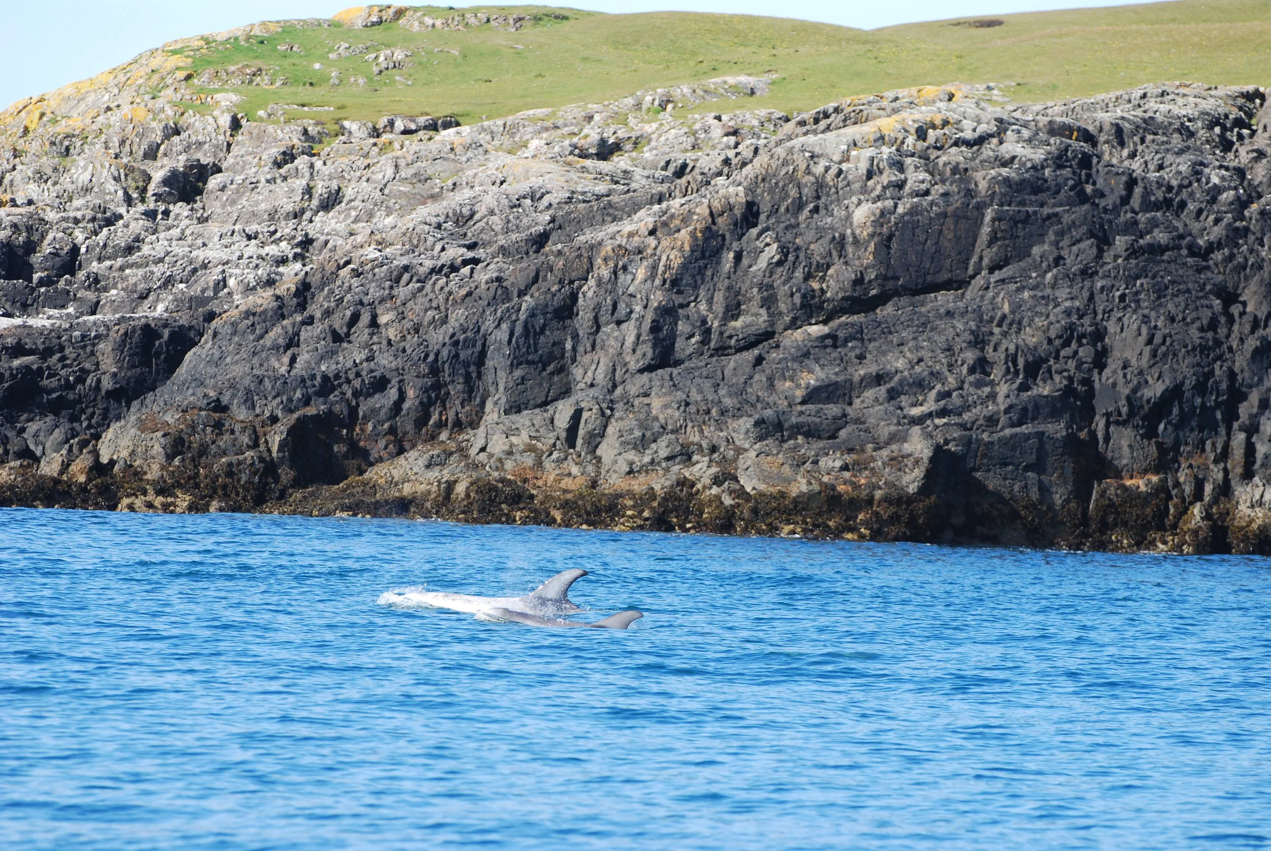
Ronay is east-facing, which means its surrounding waters are the Lower Minch, a strait that separates Skye and the Outer Hebrides. Lady Ann often tours around this area and has experienced some unique encounters like Minke whales lunge-feeding and super pods of dolphins. Rosie, who works onboard, describes her favourite encounter with a basking shark: “We were out doing man overboard drills, and it just popped up; it was the best” They mentioned that the older fishermen used to see them congregating in groups of 30 or 40 at a time.
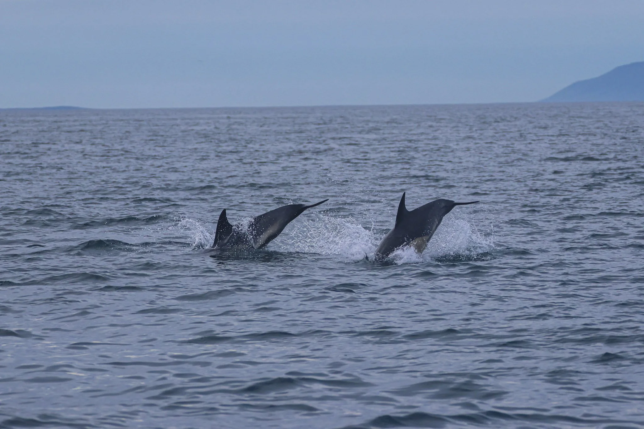
Images taken by Rosie Adey
Why Ocean Data Matters to us: Entanglement and Plastic Pollution
This effort to collect, track and monitor these species not only serves to connect people to the Marine environment, but also safeguards their future. Along the coastlines of the UK, marine litter and plastics pose a growing threat, with predictions of plastics outweighing fish in the sea by 2050. Entanglement is the leading cause of death in Minke whales, a frequent visitor to our waters. Against this backdrop, climate change continues to impact prey numbers, pushing these species toward an increasingly uncertain future.
We may be part of the problem, but we are also the solution. Communities coming together to actively track and protect these ocean giants is precisely what our seas need more of.
At the Ronay Island regenerative project, our goal is to be custodians of the land and build the ecological resilience of this unique slice of the Hebrides. This means supporting and collaborating with organisations like HWDT, utilising community power to better understand our oceans. Ronay being an island with a 35.5 km coastline, we have an enormous duty to care for and protect this habitat, but also recognise that it is part of a broader Marine biome.